Utilize Terrain RGB on Mapbox GL JS
In this section, we are going to use terrain RGB raster tileset on Mapbox GL JS
1. Add Hillshade layer to your style
If you have your own terrain RGB tilesets, it is easier to add hillshade layer to your style.json.
First, add your raster tilesets information to sources like below.
"sources": {
  "rwanda-dem":{
    "type": "raster-dem",
    "tiles": [
        "https://wasac.github.io/rw-terrain/tiles/{z}/{x}/{y}.png"
    ],
    "tileSize": 512,
    "maxzoom": 15
  }
}
Then, you can add hillshade layer like this.
"layers": [
  {
    "id": "hillshade",
    "type": "hillshade",
    "source": "rwanda-dem",
    "minzoom": 5,
    "maxzoom": 14,
    "layout": {},
    "paint": {
      "hillshade-accent-color": "#5a5a5a",
      "hillshade-exaggeration": 0.5,
      "hillshade-highlight-color": "#FFFFFF",
      "hillshade-illumination-anchor": "viewport",
      "hillshade-illumination-direction": 335,
      "hillshade-shadow-color": "#5a5a5a"
    }
  }
]
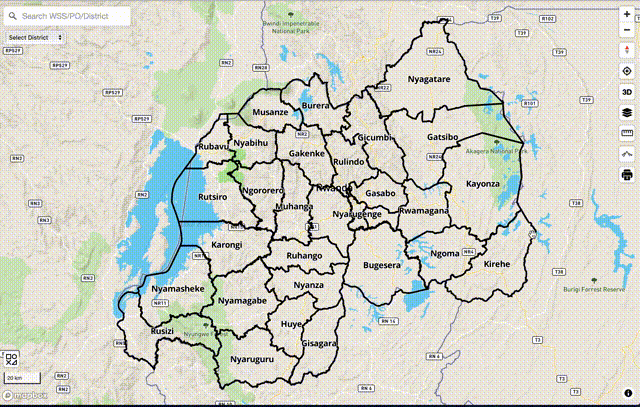
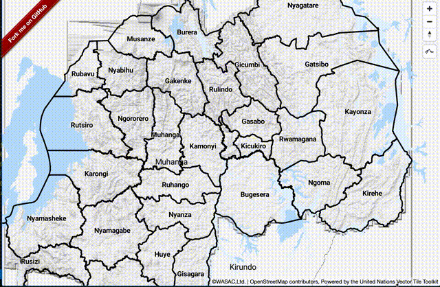
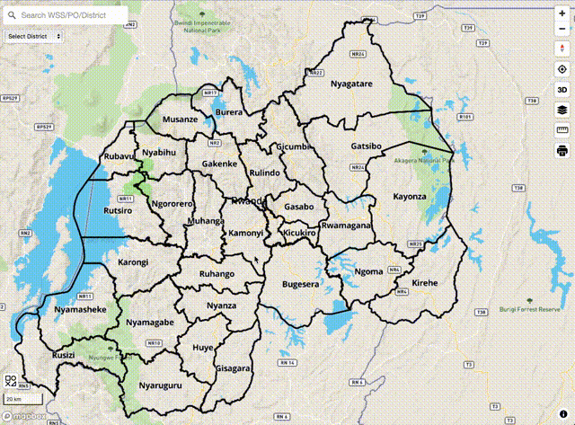
You can visit Rwanda’s web site to see hillshade style as an example. Change style to UN Vector to compare how it is different from Mapbox’s hillshade layer.
2. Add Elevation plugin to your app
In water utilities, elevation is so significant. Thus, I developed a Mapbox GL JS plugin mapbox-gl-elevation. It can query altitude information from terrain RGB raster tilesets.
You can install it to your Mapbox GL JS app as follows.
npm i @watergis/mapbox-gl-elevation --save
Then, add elevation control to Map object. Please specify your tilesets' URL.
import MapboxElevationControl from "@watergis/mapbox-gl-elevation";
import '@watergis/mapbox-gl-elevation/css/styles.css';
import mapboxgl from 'mapbox-gl';

const map = new mapboxgl.Map();
map.addControl(new MapboxElevationControl(
        'https://wasac.github.io/rw-terrain/tiles/{z}/{x}/{y}.png',
        {
          font: ['Roboto Medium'],
          fontSize: 12,
          fontHalo: 1,
          mainColor: '#263238',
          haloColor: '#fff',
        }
    ), 'top-right');
});
See demo from here.
3. Add 3D view to your app (for Mapbox GL JS v2)
If your Mapbox GL JS app already upgraded to v2, you can use terrain RGB to make 3D easily by adding some configurations to your style.json.
First, add your raster tilesets information like below.
"sources": {
  "rwanda-dem":{
    "type": "raster-dem",
    "tiles": [
        "https://wasac.github.io/rw-terrain/tiles/{z}/{x}/{y}.png"
    ],
    "tileSize": 512,
    "maxzoom": 15
  }
},
"terrain": {
  "source": "rwanda-dem",
  "exaggeration": 1.5
},
You can also see detailed information from their official page here.
If you want to add sky layer, just add it to layers section of style.json.
"layers" : [
  {
      "id": "sky",
      "type": "sky",
      "paint": {
      "sky-type": "atmosphere",
      "sky-atmosphere-sun": [0.0, 0.0],
      "sky-atmosphere-sun-intensity": 15
      }
  }
]
See demo from here. Change style to terrain for 3D view.
Note. recently Mapbox GL JS changed their license from BSD to proprietary license. If your app’s usage exceeds their free tier program, Mapbox will charge you some fees according to your usage.